Mt. Daguldol is situated in Brgy. Hugom, San Juan, Batangas, Philippines. This mountain is one of the assets of the province, in terms of mountain ranges; after their gorgeous beaches. This mountain is perfect for the first time hiker because of its simple trail.
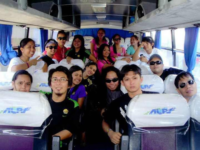
We took an Alps Bus (Cubao-EDSA) going to Alps Terminal in San Juan, Batangas. Bus fare: 188 Pesos. Approximately 3 hours travel. From Alps terminal, we took a tricycle going to Brgy. Hugom. Tricycle fare: 300 pesos/one way. Travel time: 1 hour 10 minutes. Bought rice on rice dealer along the way.
From the beach house, we walked more than 30 minutes on the shore going to the main jump off. While on the shore, we saw some photographers trying to set up their cameras for the sunrise. Our sweat came out because walking on the sand was challenging. After the shoreline, we started trekking, but one thing I noticed, check the photo below:
We took an Alps Bus (Cubao-EDSA) going to Alps Terminal in San Juan, Batangas. Bus fare: 188 Pesos. Approximately 3 hours travel. From Alps terminal, we took a tricycle going to Brgy. Hugom. Tricycle fare: 300 pesos/one way. Travel time: 1 hour 10 minutes. Bought rice on rice dealer along the way.
After getting off the tricycle, we proceeded to the registration area. Registration Fee: 35 Pesos.
After the registration, we proceeded to Masalunga Beach House, it's few meters from registration area. The owner of the beach house let us pitched our tents beside the cottages. There were some other groups on the cottage, so we mind our own business.
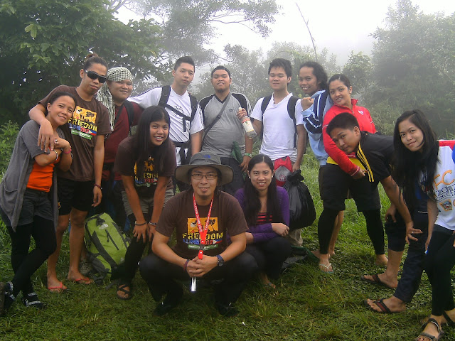
It's our first group pic, of course taken by Janneth, so she's not here.
Ang pinaka-paborito kong part sa hiking ay ang pagluluto ng pang dinner namin. Gustong-guto ko ang pagbabati ng itlog at pag-kamay ng mga hotdogs bago ilagay sa kumukulong mantika. Hindi ko alam kung anu ang dahilan, pero natutuwa talaga ako sa itlog at hotdogs. Nagbibigay din ng maganda at makintab na kulay ang mamula-mula nitong balat, kaya mas kaakit-akit itong tingnan.
While the other groups were using the videoke, having their drinking session, we were preparing our foods for dinner. Another unforgettable moment was, when the other groups finished using videoke, we entered several song numbers to it, because according to them, its okay. So, syempre #pasikat101 ako nung time na yun. I entered three songs: Just Once, Kahit Kailan and Maybe. Eh dey akala namin okay lang talaga, nung medyo tumagal na, lumapit bigla si Madam na owner nung resort, tapos inapproach kami kung kasama daw namin nung isang group, sabi namin "Hindi." Tapos sabi nya, nirentahan daw pala nung kabilang grupo yung videoke machine at nahihiya lang samin magsabi. It was not our fault, we asked them if it's for free for all, and they answered "it's okay." Ganda-ganda pa naman nung songs ko, tapos sila kasi walang tinamaang nota, eh hilig ko pa naman ang nota. After dinner, socials then took a rest.
It was 4AM when I heard Te Bing shouting and sounds like an alarm clock. Break Camp. Breakfast. And did our final preparation for our ascend. We brought only our day packs with our packed lunch, we left our long packs at the house of the Bunso - the beach house owner.
From the beach house, we walked more than 30 minutes on the shore going to the main jump off. While on the shore, we saw some photographers trying to set up their cameras for the sunrise. Our sweat came out because walking on the sand was challenging. After the shoreline, we started trekking, but one thing I noticed, check the photo below:
Mountains rich in both flora and
fauna are one of the wealth that the Philippines can be proud of. Today, one of
the major destruction that mountains are facing is the so called
“development.” Like the photo above, it shows how the base of Mt. Daguldol was
damaged because of the ongoing construction of the concrete road. As what you can see,
few kilometers of plants, thousands of insects and other creatures were killed because of this activity.
The remarkable shot! Taken by
Sharon on the large boulders on trail. Why is it remarkable? Because of
Sharon’s statement in taking this photo. She said: “Ang pangit ng angulo ng
mukha mo!” Syempre ugali na talaga ng mga Pinoy ang tinatawag na “sugar
coating” or daming pasakalye wag lang makasakit ng kapwa. So instead of saying
“Ang pangit ng mukha mo” she added “angulo ng mukha ko.” Well, ayaw nya lang talaga akong masaktan.
7:25AM we reached this house.
Here, we bought halo-halo early in the morning, took a rest and enjoyed the fresh air
and green surroundings. We stayed on this house for few minutes before we
continued trekking. But, two of the other participants didn’t push to the
summit. They chose to wait in this house while we were ascending to the summit.
Hiking shoes or boots is just one of the essentials that a hiker should have. But look on the photo above-left, it's not a hiking shoes but Janneth was able to reach the summit using this. Photo above-right, the battle between the Advan Shoes and Team Salomon. Who do you think got the title??
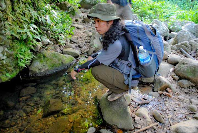
The trail of Mt. Daguldol is composed of almost assault (some parts) and hopping on and off the boulders. The trail is not just for hikers or residents, it also serves as the trail of the horses that is being used in transporting goods going to the low lands. There are rivers, but there's no water on it during our ascend.
Photo above was taken at the second camp site. Taken around 9:30AM. I think this area can accommodate more than ten tents. We just stayed in this area for five minutes then we proceeded to the summit.
Daguldol is almost the same with Mt. Gulugod Baboy. The summit is a wide open area, covered with green grass. Aside from this wide camp site, it also serves as the pastulan of the horses. #conyomode A lot of poops scattered in the area, so it is advisable to bring and turn on your head lamps if you're planning to do a night trek.
There is something wrong with the photo above. Look, the two horses were starring on the two individuals, and I can't think of a reason why they were behaving like that. Maka pose naman kasi yung dalawa oh, akala mo eh nasa hacienda. Anu naman kaya pinag-uusapan ng dalawang taong yan?? siguro pinag-uusapan nila yung mga kabayo.
That time, there were groups who spent overnight in that area and they were more than 30 in total. When we arrived, they were already done packing and almost done with break camp. While they were taking group shots on the other side, we also did our own poses on the boulders. We stayed at the summit for less than an hour.
The wind was cool, the mountain was surrounded by green trees, the sky was blue and was creating a gorgeous reflection on the seas. Descending this mountain was another challenge on my left knee. Every time I step and fold it, it hurts. Like what happened during our descend from the summit to Kawayanan of Mt. Mantalingajan in Palawan. I think there's something wrong with my knee; next time, I'll try eating banana and calcium supplements prior hiking.
Descending was a bit easier and faster than ascending, but it was dangerous. The trail was really dry and the sand was slippery, so balancing is important. There are stores on the trail who sells buko juice, halo-halo and other samalamig that can quench your thirst.
Since there were two participants who chose to stay at the house who sells halo-halo, we also cooked and took our lunch in the same area. Nanay and Tatay were both accommodating to us. "We feel we were at home." We stayed there for more than an hour and we were able to met the other hikers who were doing a day hike.
Since there were two participants who chose to stay at the house who sells halo-halo, we also cooked and took our lunch in the same area. Nanay and Tatay were both accommodating to us. "We feel we were at home." We stayed there for more than an hour and we were able to met the other hikers who were doing a day hike.
After lunch, took a rest then descended. My knee was still hurting every time I step using my left leg, so it was still a challenge. We kept on descending, some of our participants went to Naambon falls, but I chose to continue descending because of my knee injury. We reached the jump off at around 2PM. Took a short break at the store near the road then continued walking on the beach.
Walking by the beach was an additional challenge to us because of the striking sun rays. Good thing that I was able to bring my cap. It was an additional 30 minutes walk going to Masalunga Beach House, where our stuff were left. Took a rest and waited for the others to arrive while drinking a cold Royal and Sprite. Took a rest again. Next was Swimming. Did our final preparation before leaving.
We chartered an L300 Van going to Lipa City, Batangas; this vehicle was with audio/video entertainment in it, so we enjoyed FF5 while on the way. Van Rental: 1,500 pesos. Travel Period: 1 hour and 40 minutes. UPDATE: The new terminal in Lipa is located in SM City - SM City Grand Terminal. This terminal is really huge and spacious, look on the photo on the left.
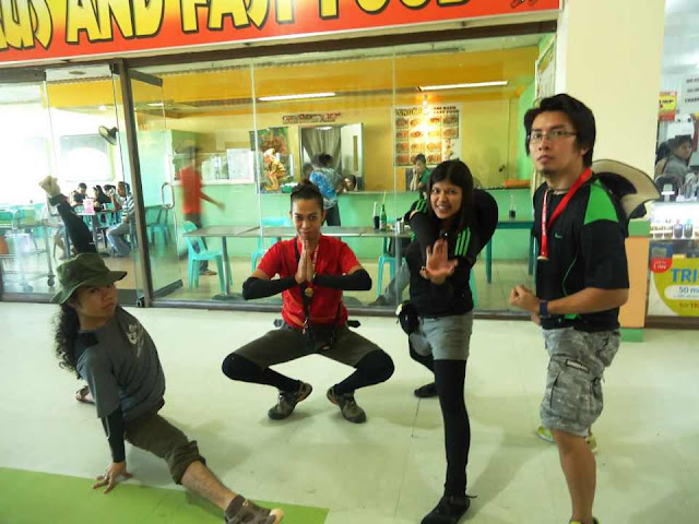
While waiting for the last trip of the bus, we took our dinner at the fast food in the mall. After dinner, we proceeded to the bus terminal. Terminal to Ortigas: 124 pesos. Travel Time: 1 hour and 35 minutes.


